
About All Tours Helicopter ToursGlacier ToursFrom Tekapo ToursFrom Christchurch ToursFrom Queenstown ToursStargazing Tours Directions Hours & Fees Guides
Find Tours 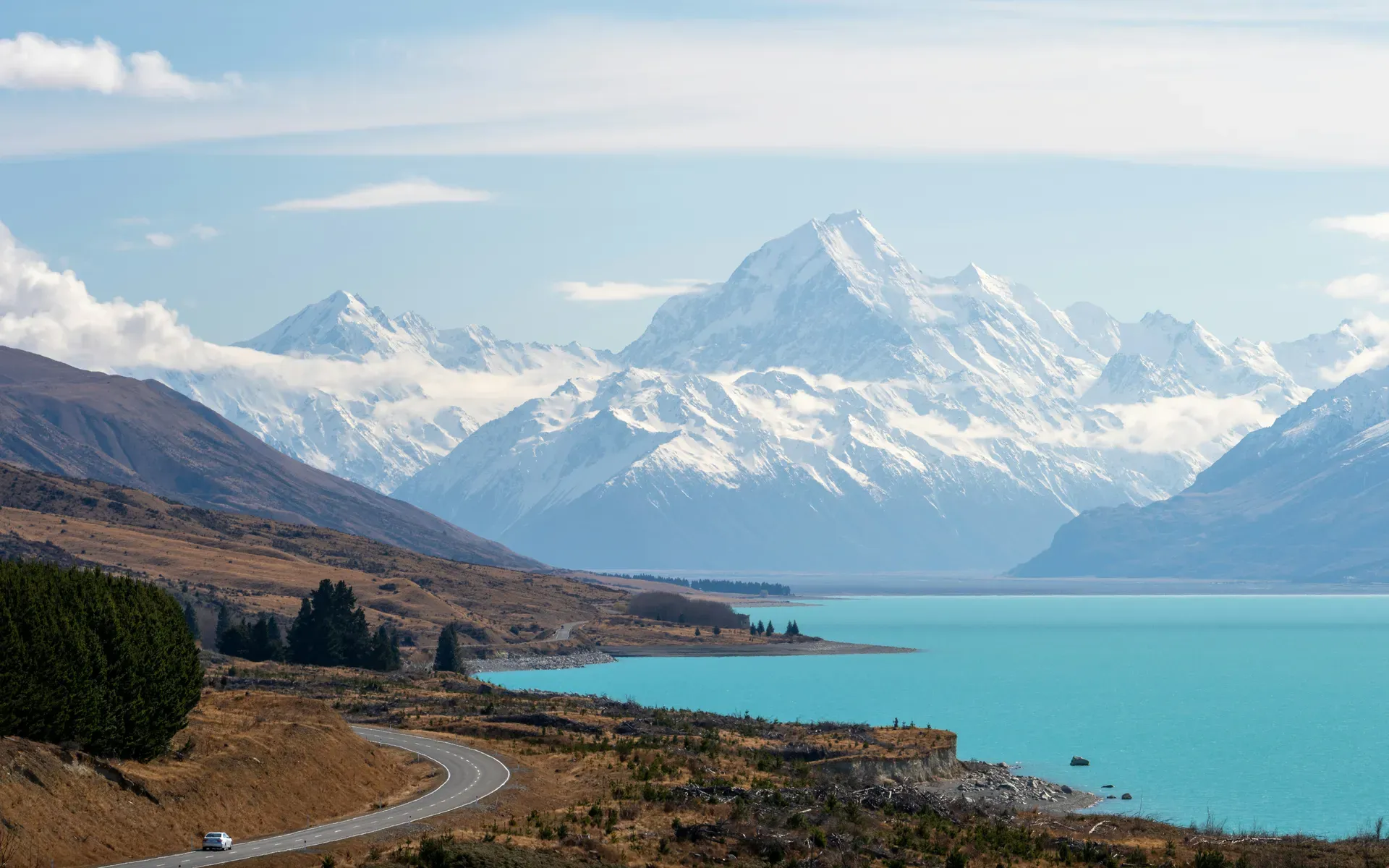
Aoraki / Mount Cook National Park covers 707 square kilometers of the central-west South Island and protects New Zealand's highest mountain at 3,724 meters. The park contains 19 peaks over 3,000 meters and the country's longest glacier.
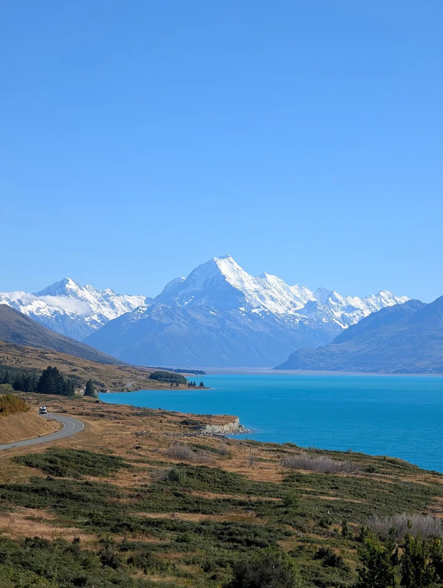
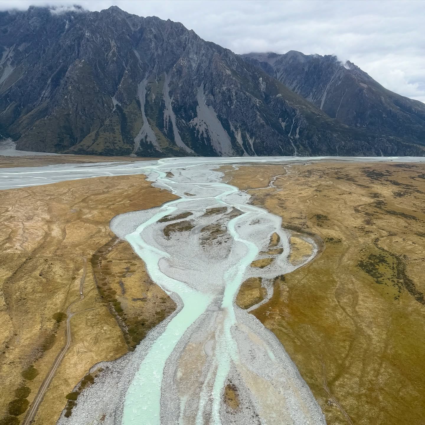
Aoraki / Mount Cook National Park spans 707 square kilometers along the Main Divide of New Zealand's Southern Alps. The park centers on Aoraki / Mount Cook, the country's highest peak at 3,724 meters. Nineteen mountains here surpass the 3,000-meter mark. Glaciers cover roughly 40 percent of the terrain. The landscape consists of steep rock walls and U-shaped valleys holding milky turquoise lakes. Mount Cook Village sits at 760 meters elevation and provides the only road access into the park via State Highway 80. The drive takes about four hours from Christchurch or three and a half hours from Queenstown. Twizel is the nearest major town, located 65 kilometers away. You'll want to buy groceries and fuel there before entering the park. The final approach follows the edge of Lake Pukaki, where glacial rock flour turns the water a brilliant, opaque blue.
Visitors come to walk the valley floors and view the ice. The Hooker Valley Track covers 10 kilometers and crosses three swing bridges over the Hooker River. It ends at a terminal lake where icebergs drift below the mountain's south face. You can also take a boat cruise on the Tasman Glacier terminal lake to see the ice up close. The weather changes fast. A sunny morning routinely turns into freezing rain by noon. You'll need waterproof layers and sturdy boots year-round.
The park operates without an entrance gate or daily admission fee. You pay only for parking at the White Horse Hill trailhead (NZ$25 per day via card machine) or for overnight stays in backcountry shelters like Mueller Hut. The first 700 meters of the Hooker path accommodate wheelchairs up to the Mueller Lake Lookout. At night, the park sits within the Aoraki Mackenzie International Dark Sky Reserve. Guided tours from the village point out the Magellanic Clouds and the Southern Cross in skies with almost zero light pollution. For the best visibility on the trails, visit between November and April when paths are largely clear of snow.
Māori hunters and travelers navigated the valleys around Aoraki for centuries before European arrival, establishing seasonal camps to gather food and source stone. The New Zealand government established the first formal reserves around Mount Cook in 1885. European climbers arrived shortly after to test themselves against the Southern Alps. Reverend W.S. Green made the first serious attempt on the summit in 1882 with two Swiss guides. They reached a point just 20 meters below the top before retreating due to darkness and incoming weather. Three New Zealanders — Tom Fyfe, Jack Clarke, and George Graham — successfully completed the first ascent on Christmas Day in 1894. They climbed via the North Ridge, a route that remains highly respected by modern alpinists.
The area was formally gazetted as Aoraki / Mount Cook National Park in October 1953. Sir Edmund Hillary used these specific peaks to train for his successful Mount Everest expedition that same year. The steep, heavily glaciated terrain provided exact conditions for practicing ice climbing and crevasse rescue. Hillary and his team spent weeks on the Tasman and Mueller glaciers testing equipment and acclimatizing to the cold. The park gained UNESCO World Heritage status in 1990 as part of the Te Wahipounamu site, recognizing its outstanding geological processes and intact flora.
Aoraki / Mount Cook lost a significant portion of its summit on December 14, 1991. A massive rock and ice avalanche detached from the northern peak. Roughly 13 million cubic meters of material fell down the mountain, traveling at speeds over 200 kilometers per hour. The debris spread across the Tasman Glacier, altering the skyline permanently. This event reduced the peak's height by about 10 meters. A GPS survey conducted by the University of Otago in 2013 and 2014 confirmed the current elevation at 3,724 meters.
The landscape continues to shift as the glaciers retreat. A single massive glacier filled the Hooker and Tasman valleys 13,000 years ago, extending past the southern end of Lake Pukaki. Today, the terminal lakes grow larger each year as the ice melts. The Department of Conservation maintains the tracks and huts amid these changing conditions. Climbers must register their intentions at the visitor center before heading into the backcountry. Book Mueller Hut online well in advance if you plan to stay between November and April.
Glaciers define the physical structure of Aoraki / Mount Cook National Park. Ice covers roughly 40 percent of the 707-square-kilometer area. The Tasman Glacier is New Zealand's longest, stretching approximately 23 kilometers and reaching depths of 600 meters at its thickest point. It moves slowly down the eastern flank of the mountain. At its terminus, the ice breaks off into a milky-gray lake. Boat tours navigate this water, weaving between floating icebergs that frequently flip over as they melt.
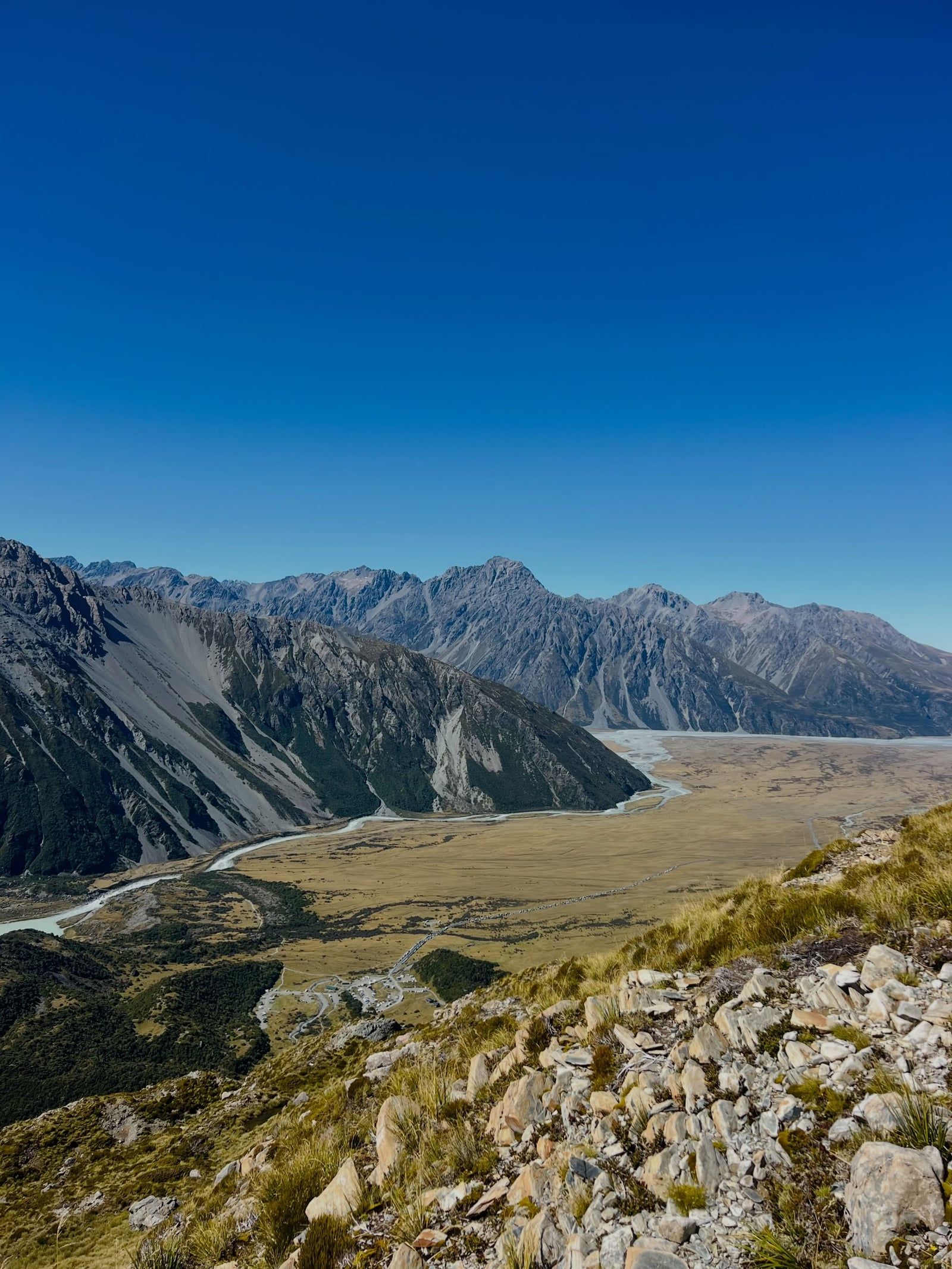
The mountains themselves consist of uplifted greywacke and schist. The Main Divide of the Southern Alps runs directly through the park, bordering Westland Tai Poutini National Park on the western side. This geological fault pushes the mountains higher by several millimeters each year, though erosion wears them down at a similar rate. Twenty-nine peaks in the immediate vicinity rise above 3,000 meters. The valleys below are distinctly U-shaped. They're carved out by a massive single glacier at the end of the last ice age roughly 13,000 years ago. Today, hikers cross the Hooker River via three suspension bridges. The newest bridge spans 189 meters, making it the longest in New Zealand.
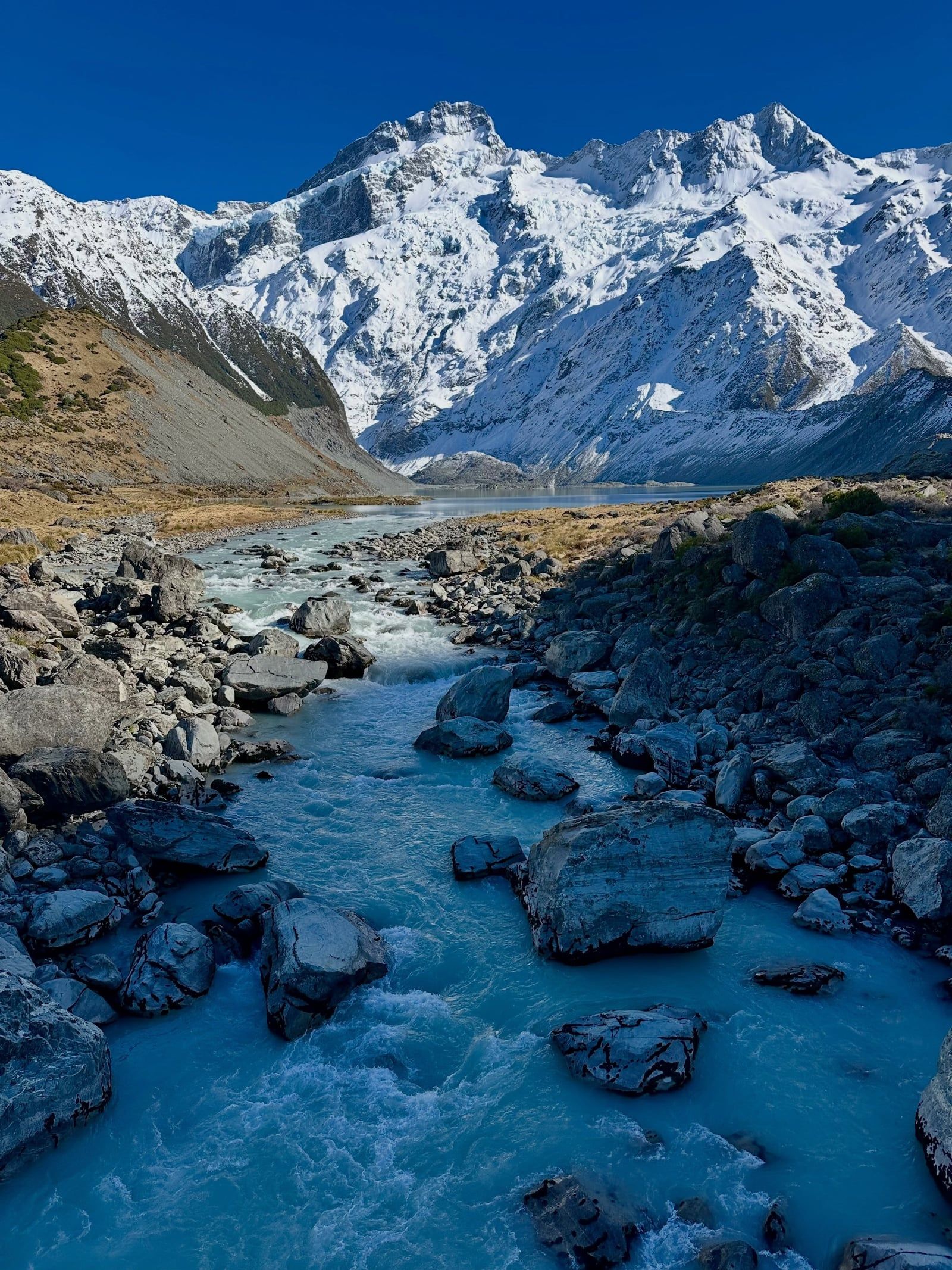
Higher up, the Sealy Tarns and Mueller Hut route climbs more than 2,200 steps to an elevation of 1,800 meters. This steep path looks directly across the Mueller Glacier at the summit ridge of Aoraki. Water in the park is dangerously cold. The glacial lakes maintain a temperature of around 3 degrees Celsius year-round. Falling in causes rapid hypothermia. The ice on these lakes is unstable and gives way without warning. Stay on the marked tracks and never attempt to walk on the frozen lake edges. If you want to touch the snowfields safely, book a ski-plane flight from Mount Cook Airport that lands directly on the upper glaciers at 2,000 meters.
Aoraki holds supreme sacred status for Ngāi Tahu, the principal Māori iwi (tribe) of the South Island. In their creation traditions, Aoraki and his three brothers were the sons of Rakinui, the Sky Father. Their canoe struck a reef and overturned. When the brothers climbed onto the hull, the freezing south wind turned them to stone. The canoe became the South Island (Te Waka o Aoraki). Aoraki, the tallest brother, became the highest peak. His brothers formed the neighboring mountains.
This ancestry means the mountain is treated as a living elder. Ngāi Tahu consider standing on the absolute summit to be culturally disrespectful. Modern mountaineers are asked to stop just short of the highest point to honor this tradition. The 1998 Ngāi Tahu Claims Settlement Act officially recognized the mountain's original name, changing it to the dual Aoraki / Mount Cook. The Department of Conservation Visitor Center in the village features extensive exhibits detailing this history, alongside displays on the local flora and fauna. The center is open daily from 8:30 am.
The park is a central site in global mountaineering history. The Alpine Memorial and Freda's Rock sit along the first kilometer of the Hooker Valley Track. These stone markers commemorate climbers who died attempting the peaks. They mark the severe risks inherent in this alpine environment. The local wildlife also shapes the visitor experience. Kea, the world's only alpine parrot, frequent the tracks around Kea Point. These birds are nationally threatened and highly intelligent. They routinely investigate parked cars and chew on rubber window seals. Read the plaques on the way to the first swing bridge, and check your rental car for kea damage before driving back to Twizel.
Kea are the world's only alpine parrots and frequently chew the rubber seals on cars parked at Mount Cook.
The park is part of the Aoraki Mackenzie International Dark Sky Reserve, one of the largest areas of protected night sky on Earth.
A massive 1991 rock and ice avalanche removed roughly 10 meters from the top of Aoraki / Mount Cook.
The Hooker Valley Track features a 189-meter suspension bridge, the longest of its kind in New Zealand.
Ski-planes operate from Mount Cook Airport to land directly on the permanent snowfields at 3,000 meters.
Sir Edmund Hillary trained on these specific glaciers before his successful 1953 ascent of Mount Everest.
The turquoise color of nearby Lake Pukaki comes from fine glacial rock flour suspended in the meltwater.
Entry to the national park is completely free. You only pay for parking at the White Horse Hill car park (NZ$25 per day) or for overnight stays in backcountry huts.
Aoraki / Mount Cook is 3,724 meters (12,218 feet) tall. A massive rock and ice avalanche in 1991 reduced its height by about 10 meters from its previous elevation.
The track is a 10-kilometer return journey that takes most people about three hours to complete. The path is mostly flat and crosses three swing bridges before ending at Hooker Lake.
You can drive via State Highway 80 directly into Mount Cook Village, which sits at 760 meters elevation. The road is sealed and runs alongside the edge of Lake Pukaki.
Yes, kea are commonly seen around the village and at Kea Point. Don't feed them, and be aware that they often chew on the rubber trim of parked rental cars.
Yes, flying a drone anywhere in Aoraki / Mount Cook National Park requires an advance permit from the Department of Conservation. Unauthorized flights are strictly prohibited.
The first 700 meters of the track are a flat gravel path suitable for standard wheelchairs. Beyond the Mueller Lake Lookout, the terrain becomes rough and requires an all-terrain wheelchair.
November through April offers the warmest temperatures and tracks clear of snow. Winter visits from June to September bring icy trails that require microspikes and hiking poles.
No. The glacial lakes maintain a temperature of around 3 degrees Celsius and cause rapid hypothermia. The ice on the lakes is also highly unstable and gives way without warning.
Yes, online bookings are mandatory between November 11 and April 30. Outside of those dates, you must purchase a hut ticket in person at the visitor center before climbing.
Browse verified tours with free cancellation and instant confirmation.
Find Tours