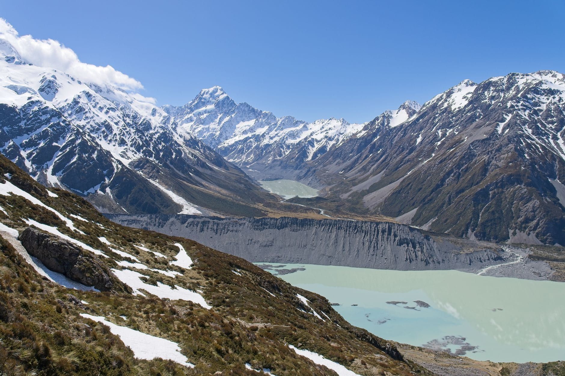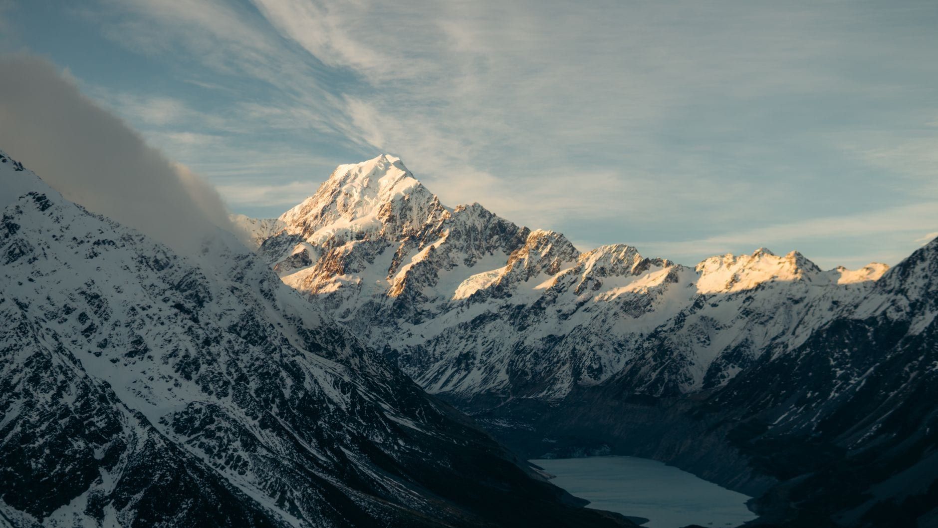
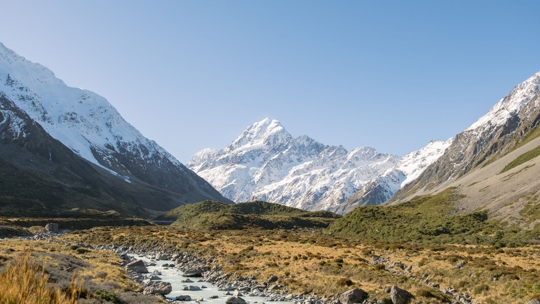
Aoraki/Mount Cook National Park holds 19 peaks over 3,000 metres, including Aoraki/Mount Cook itself at 3,724 metres, New Zealand's highest mountain. Hiking is the reason most people drive the long road in. Trails here run from a flat 10-minute stroll through native forest to a two-day alpine slog up 2,200 steps to a hut perched at 1,800 metres, and almost everyone in between walks the glacier-fed Hooker Valley Track at some point. For background on the park's history and layout before you lace up, the Mount Cook visitor guide covers what you'll find in the village itself.
This guide sorts every maintained trail by difficulty, gives you real distances and times pulled from DOC's own track pages, and ends with a decision guide so you can match a hike to the day you actually have, not the day you wish you had.
Mount Cook Hikes at a Glance
Glaciers cover about 40% of this 707 sq km park, and the biggest of them, the Tasman Glacier, stretches roughly 27km, the longest in New Zealand. Mount Cook Village sits at the base of it all at 760 metres, ringed by mountains that make even the short walks feel outsized. Nearly every trail starts within a few minutes of the village, which is why a single well-planned day can string together two or three of them.
| Trail | Distance | Time | Difficulty | Starting Point | Best For |
|---|---|---|---|---|---|
| Hooker Valley Track | 10km return | ~3 hours | Easy-intermediate | White Horse Hill car park | Icebergs at Hooker Lake, the classic walk |
| Kea Point Track | Up to 4km return | 1-2 hours | Easy | Mount Cook Village or White Horse Hill | Fastest big view, kea spotting |
| Sealy Tarns Track | Steep, ~2,200 steps | 3-4 hours return | Easy-intermediate (steep) | White Horse Hill car park | Best panorama for a day hike |
| Red Tarns Track | 4km return | ~2 hours | Easy-moderate | Bowen Drive shelter, village | Quiet, good at sunset |
| Mueller Hut Route | 5.2km one way | ~4 hours one way | Advanced | White Horse Hill car park | Overnight alpine hut trip |
| Ball Hut Route | ~19km return | Full day | Advanced | Tasman Valley car park | Remote Tasman Valley views |
The sections below group trails by effort: easy valley and village walks first, then the two step-heavy moderate climbs, then the overnight and advanced routes. If you'd rather skip straight to a recommendation, jump to the decision guide further down.
Easy Walks Anyone Can Do
Six trails fall into this group, none needing more than moderate fitness, and most cluster around three trailheads: the Hooker Valley, the Tasman Valley, and Mount Cook Village itself. Pick based on how much time you've got and whether you want a glacier lake, a moraine wall, or just a leg-stretch between drives.
Hooker Valley Track
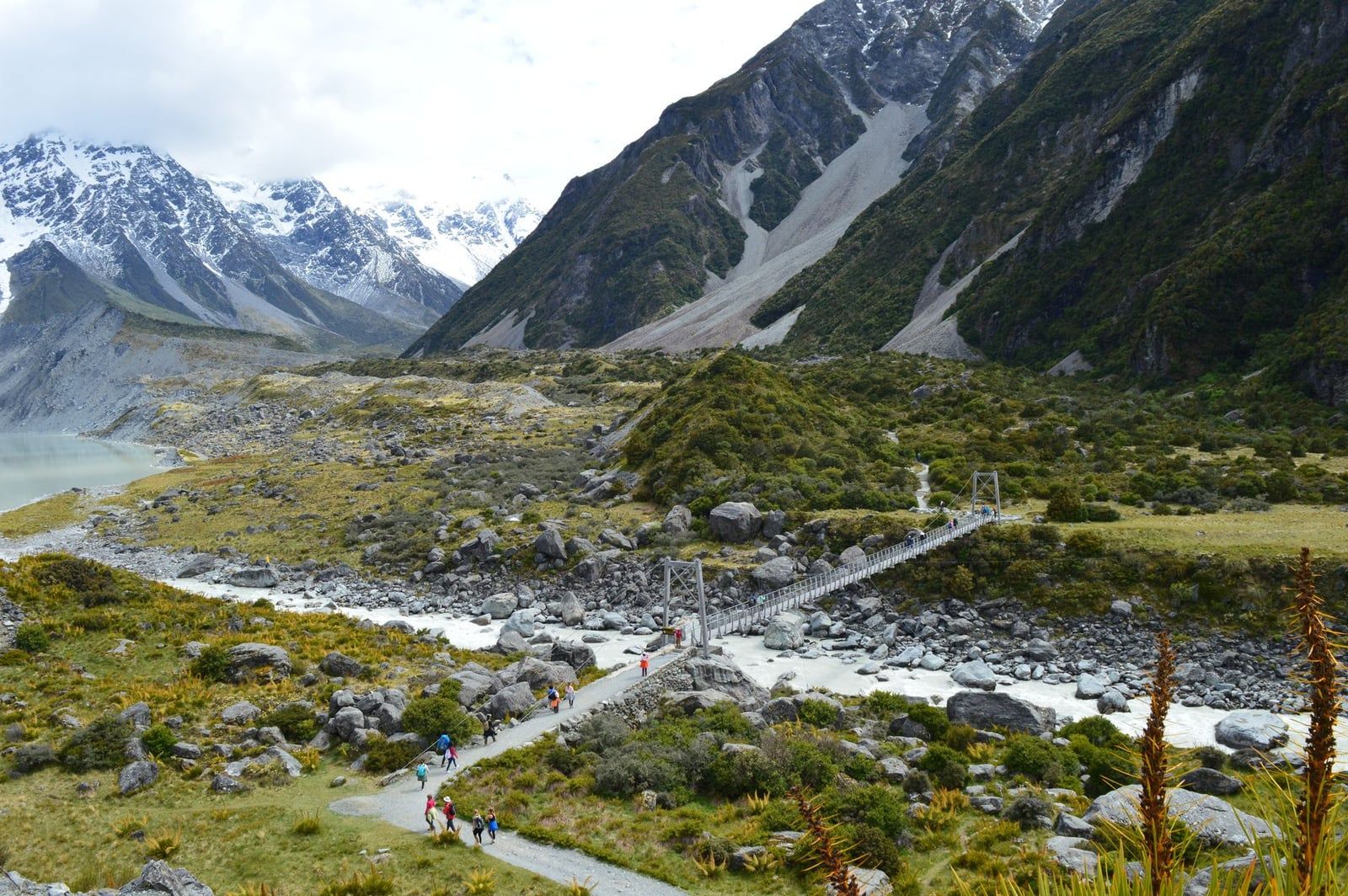
Three swing bridges carry the Hooker Valley Track across braided glacial rivers on its way to Hooker Lake, where chunks of ice drift under the sheer face of Aoraki/Mount Cook. DOC rates the full 10km return route easy-to-intermediate, at about 3 hours, starting from the White Horse Hill car park. The newest of the three bridges, opened in July 2026, spans 189 metres and is now the longest suspension bridge in New Zealand. The first kilometre, a flat gravel path to the Mueller Lake lookout, works for wheelchairs, buggies and anyone who just wants a taste of the valley without the full walk.
Kea Point Track
Kea Point gets you to a proper mountain view for the least effort in the park: a moraine wall overlooking Mueller Glacier's terminal lake, with Mount Sefton looming above. DOC lists it at 2 hours return from Mount Cook Village or just 1 hour return if you start from White Horse Hill Campground. Keep an eye on your boots and your bag here, kea (the world's only alpine parrot) hang around the boardwalk and have no fear of stealing snacks.
Tasman Valley Walks
Tasman Lake Track, the Tasman Glacier viewpoint, and the Blue Lakes Loop all share one car park in the Tasman Valley, about 15-20 minutes' drive from the village, so it makes sense to treat them as one outing. The viewpoint walk is a short climb to a lookout over New Zealand's longest glacier and its iceberg-scattered terminal lake; Blue Lakes Loop is the gentler, family-friendly add-on nearby. If the lake itself grabs you, a boat trip actually onto the water among the icebergs is a different kind of outing entirely, and the glacier tours from the village run right from this same car park area.
Village Short Walks
Bowen Bush Walk is a 10-minute return loop through native totara forest right in Mount Cook Village, graded DOC's easiest category and a solid option when the weather closes in. Governors Bush Walk is a similar short forest loop nearby, good for birdlife and shade on a hot afternoon. Glencoe Walk, also in the village, is currently closed until November 2026 because construction at the Hermitage Hotel has cut off access, so don't plan around it.
Moderate Hikes for a Good Workout
Two trails make up this tier, both step-heavy climbs out of the valley floor that need no technical skill, just legs and lungs. Reasonably fit walkers manage either in half a day, and the payoff is the best panoramic view you can reach without a hut booking.
Sealy Tarns Track
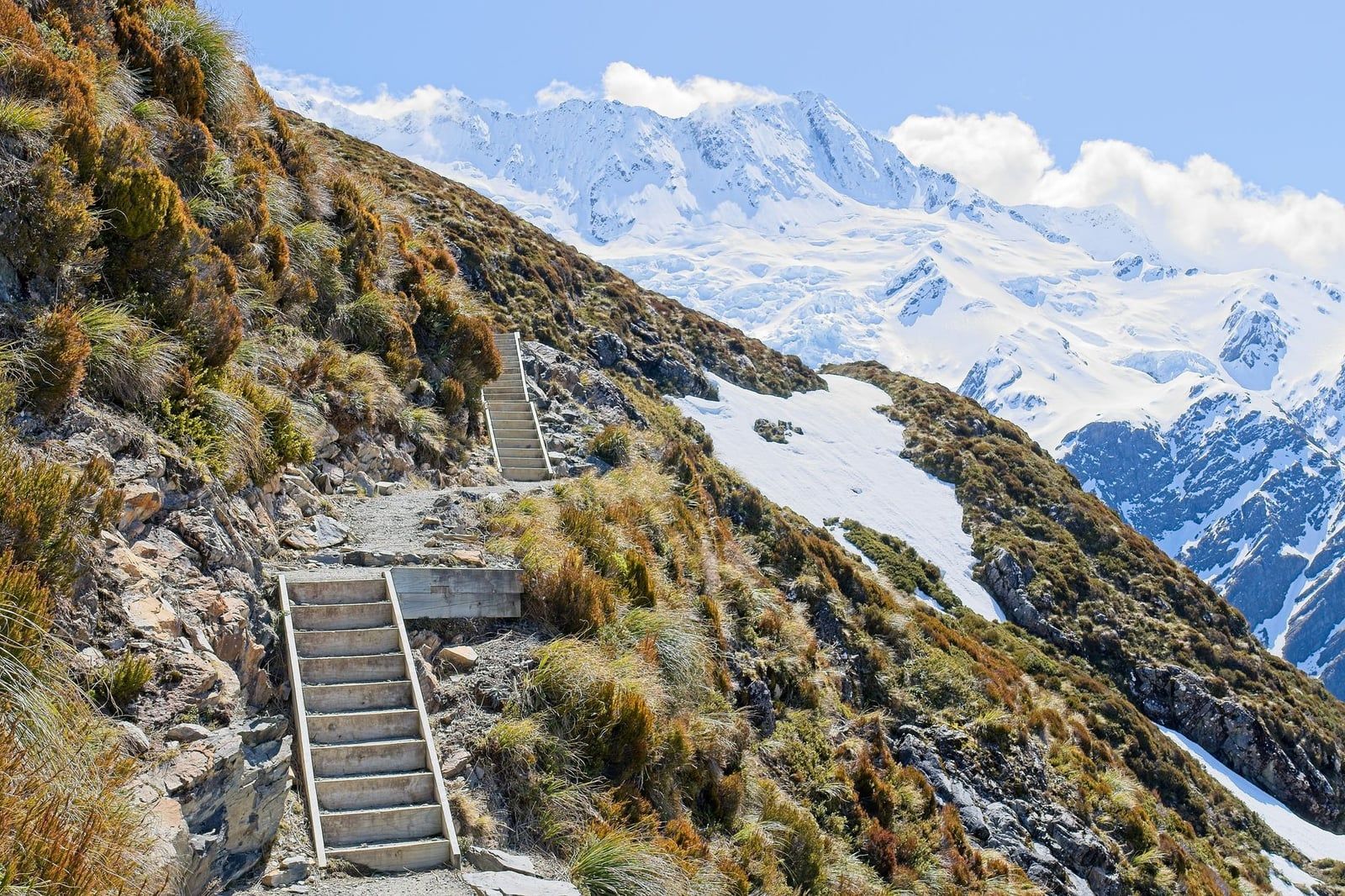
Locals call it the Stairway to Heaven for a reason: roughly 2,200 steps gain 600 metres to a viewing platform looking straight across the valley at Aoraki/Mount Cook. DOC grades it easy-to-intermediate and puts the return time at 3-4 hours, but the step count makes it feel harder than the label suggests. There's no shelter up there, so DOC's advice is blunt: if weather starts closing in, turn around. The same track continues on to Mueller Hut for those going further.
Red Tarns Track
Red Tarns climbs 300 metres over a 4km return route, about 2 hours, starting at the public shelter on Bowen Drive in the village. It's the quieter alternative to Sealy Tarns, with tussock-ringed tarns that turn gold in low light. Time it for late afternoon if you can. Fewer people, softer light, and the reflection of the mountains in still water make it worth the extra effort of a second visit up the hill.
Both climbs reward a bit of preparation. Trekking poles take real pressure off your knees on the way down, an early start beats both the crowds and the afternoon heat on exposed switchbacks, and neither track has anywhere to hide if a squall rolls in. Turn back rather than push through it.
Multi-Day and Advanced Hikes
Four routes push past day-walk territory into real alpine terrain, needing gear, navigation skill and a realistic read on the weather. Hut bookings and intentions forms aren't paperwork for its own sake, they're how DOC knows to come looking if you don't check back out.
Mueller Hut Route
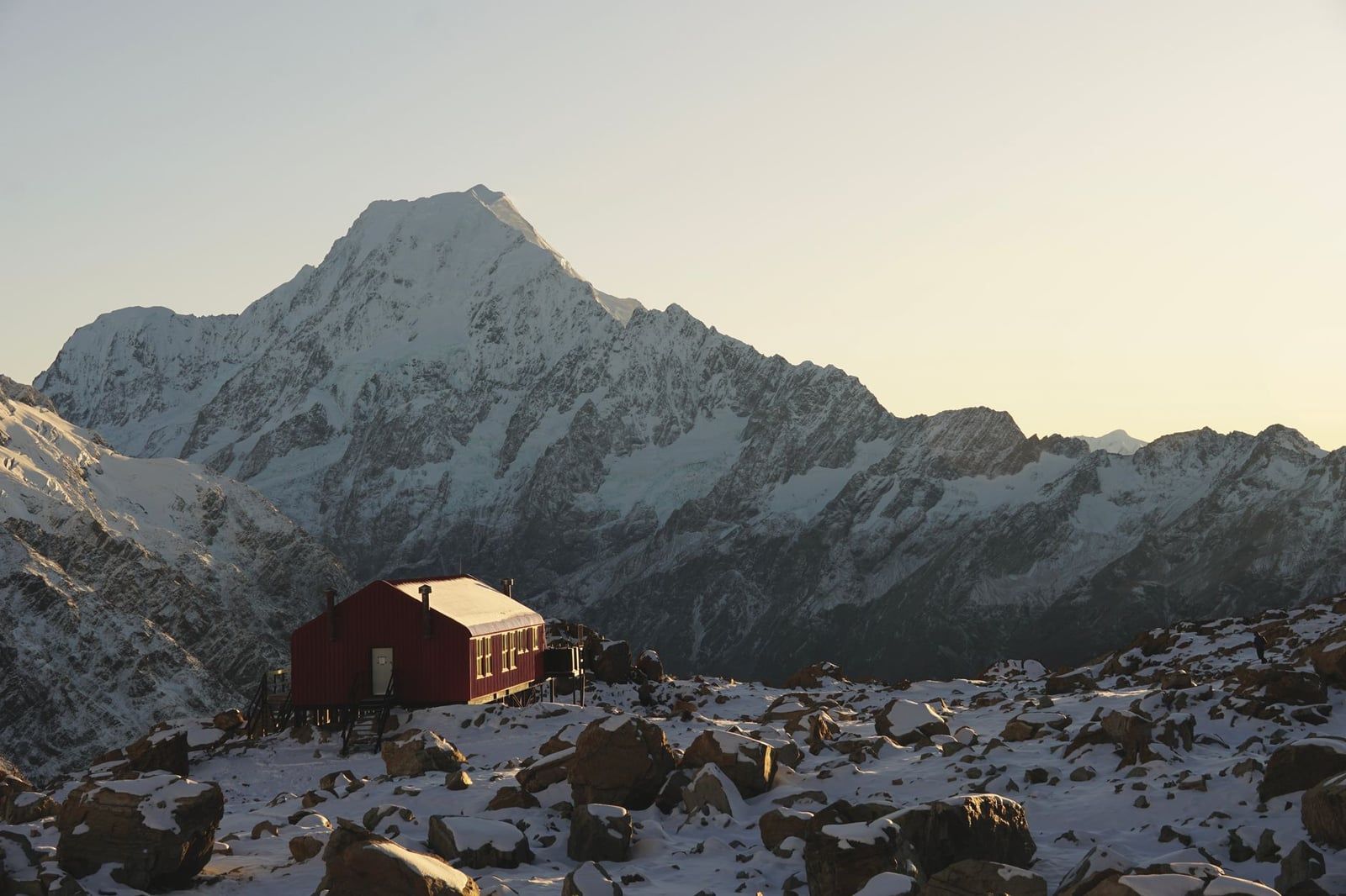
Past Sealy Tarns, the route to Mueller Hut climbs alpine scree and rock to a 28-bunk serviced hut at 1,800 metres, built in 2003 and named for glaciologist Ferdinand von Mueller. DOC grades it advanced and puts the climb at 5.2km, about 4 hours, one way. Bookings are required online from 11 November to 30 April; outside that window you buy a hut ticket in person at the Visitor Centre instead. Snow and ice can appear on the route from March through November, with avalanche danger considerable through the winter and spring months, and DOC requires an ice axe, crampons, and an avalanche transceiver, probe and shovel whenever those conditions are in play. This is not a casual add-on to a Hooker Valley walk, it's a genuine alpine trip.
Hooker Hut Track
Hooker Hut is the newer, gentler overnight option, branching off the Hooker Valley Track rather than climbing into alpine terrain. It's a reasonable first overnight tramp for hikers who want a hut experience without the exposure of the Sealy Tarns route, though it still needs the same intentions registration as any backcountry trip here.
Sefton Bivvy Hike
Sefton Bivvy is a rugged route to a two-bunk historic shelter, used more by climbers and serious trampers than day walkers. Its real appeal is the sky: with almost no light pollution this deep in the Aoraki Mackenzie Dark Sky Reserve, a night at the bivvy delivers a view of the Milky Way that the village, bright as it is by park standards, can't quite match.
Ball Hut Route
Ball Hut Route runs roughly 19km return up the remote side of the Tasman Valley, graded advanced and best treated as a full-day commitment. Expect rough, unmarked ground in places and long stretches without other people around. None of these four routes are for hikers without alpine gear, navigation skill, or a realistic read on the weather. If that's not you yet, stick to Sealy Tarns and save the huts for next trip.
How to Choose the Right Mount Cook Hike for You
- Only have 2-3 hours: walk the Hooker Valley Track or Kea Point Track.
- Want the best view for the least effort: climb Sealy Tarns or Red Tarns.
- Staying two days: pair an easy valley walk with Sealy Tarns the next morning.
- Experienced tramper with a spare night: book Mueller Hut ahead of time.
- Raining or under an hour spare: walk Bowen Bush or Governors Bush in the forest.
Planning Essentials: Getting There, Weather, Fees and Safety
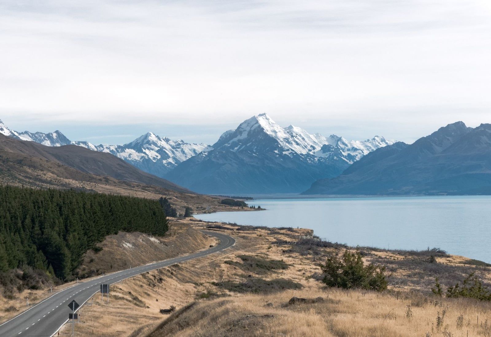
Mount Cook Village is about 271km from Queenstown, a 3 to 3.5-hour drive via Cromwell and the Lindis Pass, and around 328-330km from Christchurch, roughly 3 hours 45 minutes to 4 hours via Tekapo and Pukaki. From the White Horse Hill trailhead it's about 5 minutes back into the village, 50 minutes to Twizel, and 1 hour 30 minutes to Tekapo. Full route options, including scenic-flight alternatives, are on the getting to Mount Cook page.
Parking at White Horse Hill, the trailhead for Hooker Valley, Sealy Tarns and Mueller Hut, costs NZ$2.50 per half hour or NZ$25 a day, free if you're in and out within 20 minutes. Machines take card only, no cash, and frequent visitors can buy an annual permit online. Full current pricing sits on the park's hours and fees page.
Alpine weather here turns fast: strong wind, heavy rain, snow and sharp temperature swings can hit at any time of year, so check the NIWA park forecast the morning you go and carry warm, waterproof layers even on a clear start. Dogs aren't permitted anywhere in the national park, village and campground included. Heading into the backcountry for Mueller Hut, Ball Hut or beyond, register your intentions at the DOC Visitor Centre and carry a distress beacon; check DOC's alerts page for closures before you commit to a route. If you'd rather not self-drive or self-navigate, guided Mount Cook hiking and sightseeing tours cover most of these same trails with a local guide.
Where to Stay Near the Trailheads
White Horse Hill Campground sits closest to the busiest trailheads, with 60 non-powered sites, a cooking shelter, toilets and drinking water, from around NZD 20 per adult a night. It's the pick if you want to be walking within minutes of waking up.
Mount Cook Village's hotels and lodges cost more, but you can watch the mountain's weather change in real time from the window and adjust your plan for the next day accordingly. Twizel, about 65km and 45-60 minutes away, is the budget base, with more room options and the last supermarket and fuel stop before the park.
Frequently Asked Questions about Mount Cook Hikes
What is the best hike in Mount Cook National Park?
The Hooker Valley Track is the most popular, a 10km, 3-hour easy-to-intermediate walk to Hooker Lake. If you want the best view for your effort, Sealy Tarns or the longer Mueller Hut route go higher and further, with bigger panoramas to match.
How long does the Hooker Valley Track take?
About 3 hours return over 10km, an easy-to-intermediate grade from the White Horse Hill car park. The route crosses three swing bridges, including a new 189-metre bridge that opened in July 2026.
Is the Hooker Valley Track currently open?
Yes. The new second swing bridge opened in July 2026 and restored full access along the whole route. Conditions can still change with weather, so check DOC's alerts page before you drive out.
Can you hike in Mount Cook National Park in winter?
Yes, valley-floor walks like Hooker Valley, Kea Point and the village short walks stay open year-round. Higher routes like Sealy Tarns and especially Mueller Hut can carry snow and ice from March to November and require an ice axe, crampons and avalanche gear.
Do you need to book or pay for Mount Cook hikes?
The day walks themselves are free, but the White Horse Hill car park charges NZ$2.50 per half hour or NZ$25 a day. Mueller Hut needs an online booking from 11 November to 30 April, and any backcountry trip requires registering intentions at the Visitor Centre.
Are dogs allowed on Mount Cook hikes?
No. Dogs aren't permitted anywhere in Aoraki/Mount Cook National Park, including the village, the campground and every track.
How many days do you need to see Mount Cook's best hikes?
One full day covers the Hooker Valley Track plus a short walk like Kea Point. Two days lets you add Sealy Tarns or Red Tarns, and experienced hikers should budget a third day or an overnight for Mueller Hut.
Where do most Mount Cook hikes start from?
Most, including Hooker Valley, Kea Point, Sealy Tarns and Mueller Hut, start at the White Horse Hill car park at the end of Hooker Valley Road. Tasman Valley walks start at the Blue Lakes/Tasman car park, and village walks like Bowen Bush, Governors Bush and Red Tarns start in Mount Cook Village itself.
Sources
- doc.govt.nz/parks-and-recreation/places-to-go/canterbury/places/aoraki-mount-coo
- doc.govt.nz/parks-and-recreation/places-to-go/canterbury/places/aoraki-mount-coo
- doc.govt.nz/parks-and-recreation/places-to-go/canterbury/places/aoraki-mount-coo
- doc.govt.nz/parks-and-recreation/places-to-go/canterbury/places/aoraki-mount-coo
- doc.govt.nz/parks-and-recreation/places-to-go/canterbury/places/aoraki-mount-coo
- doc.govt.nz/parks-and-recreation/places-to-go/canterbury/places/aoraki-mount-coo
- doc.govt.nz/parks-and-recreation/places-to-go/canterbury/places/aoraki-mount-coo
- en.wikipedia.org/wiki/Aoraki_/_Mount_Cook_National_Park
- en.wikipedia.org/wiki/Aoraki_/_Mount_Cook